Map of Germany XXL Poster Political Map 100x140
incl. VAT, plus shipping costs
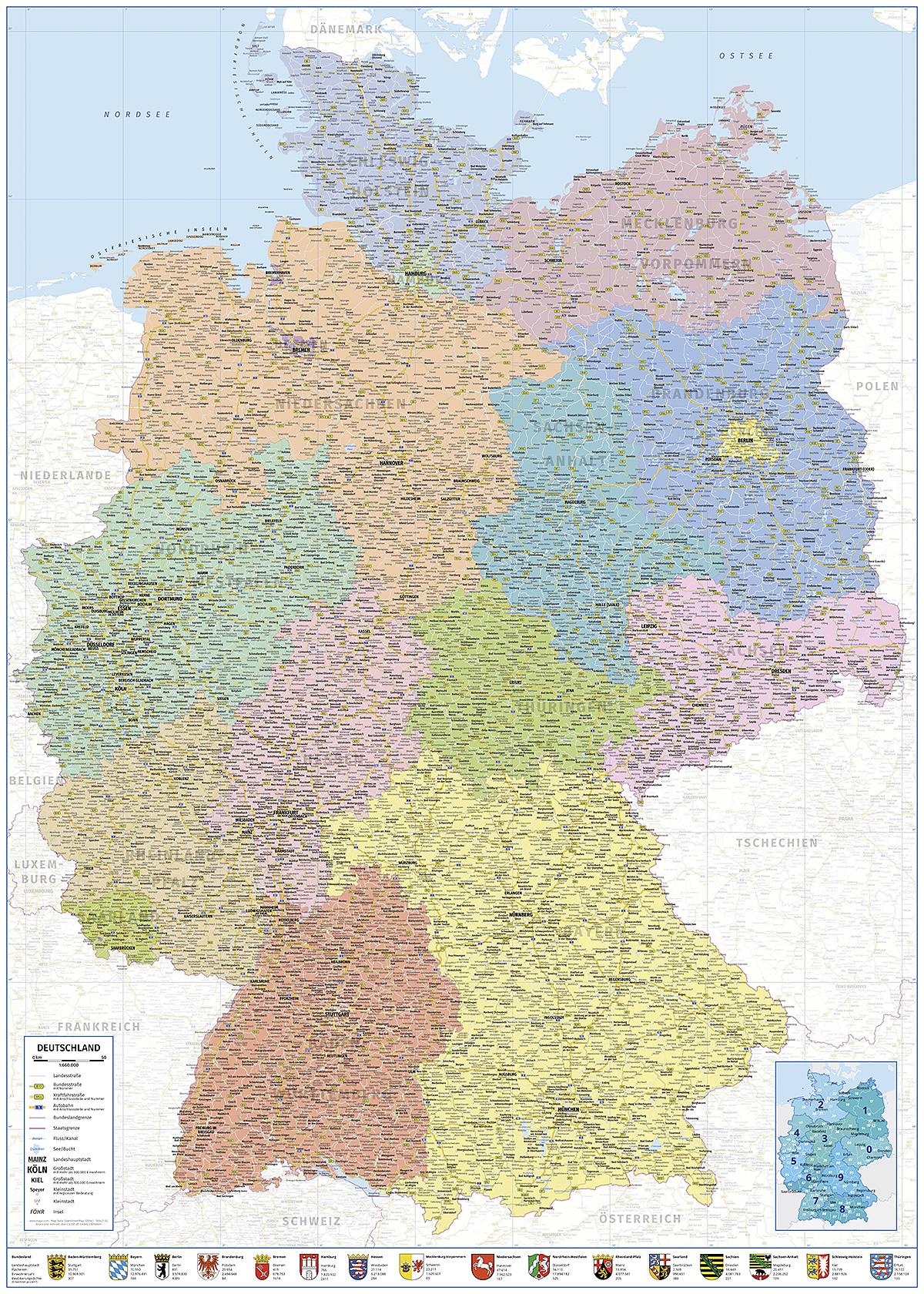
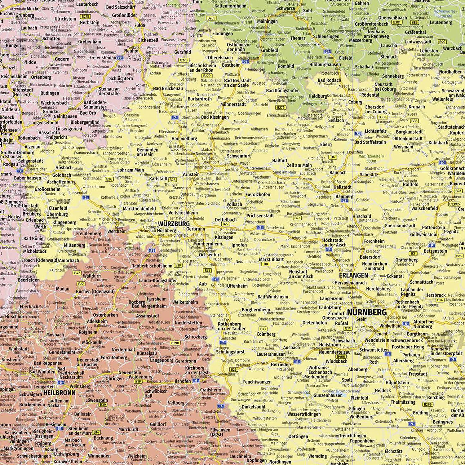
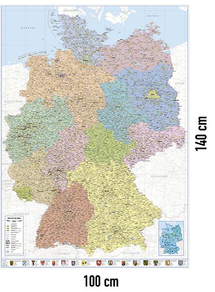
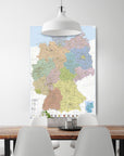
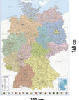
Clear map of Germany. The 16 Germans Federal states are separated from each other by colour. The population of Cities are fast due to different font sizes to make out. The capitals are additionally underlined.
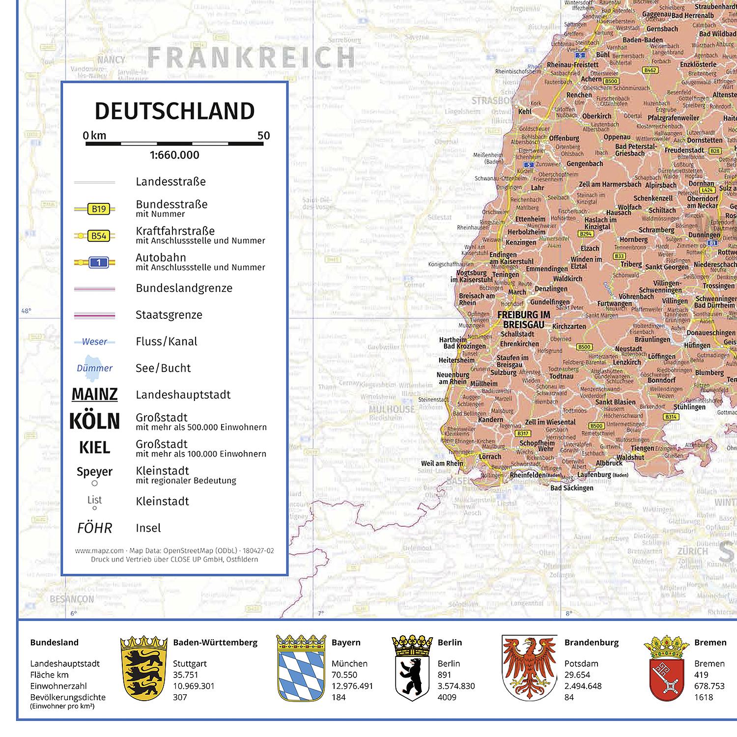
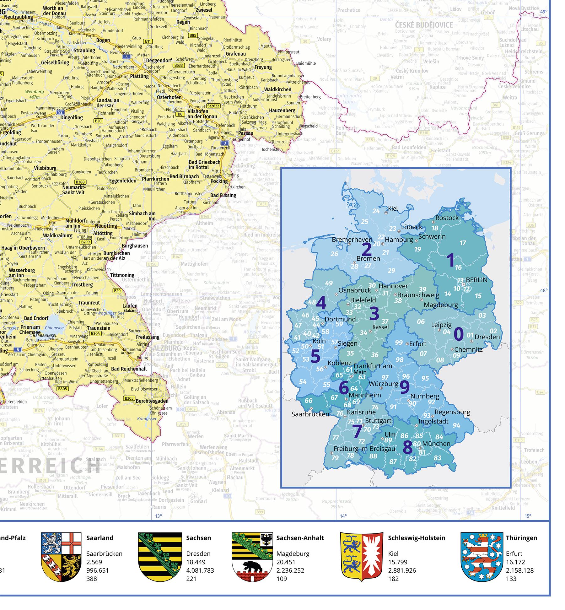
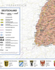
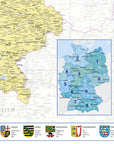
A legend below on the left explains the various symbols. Various Roads such as Autobahns and federal roads, borders as well Bodies of water and rivers can be seen on the map. In the The lower right part shows the postal code areas of the Federal Republic of Germany shown. The bottom bar shows the coats of arms of the various Federal states with important information, such as the state capital, Area, number of inhabitants and population density. the adjacent ones Neighboring countries are illustrated in reduced color.
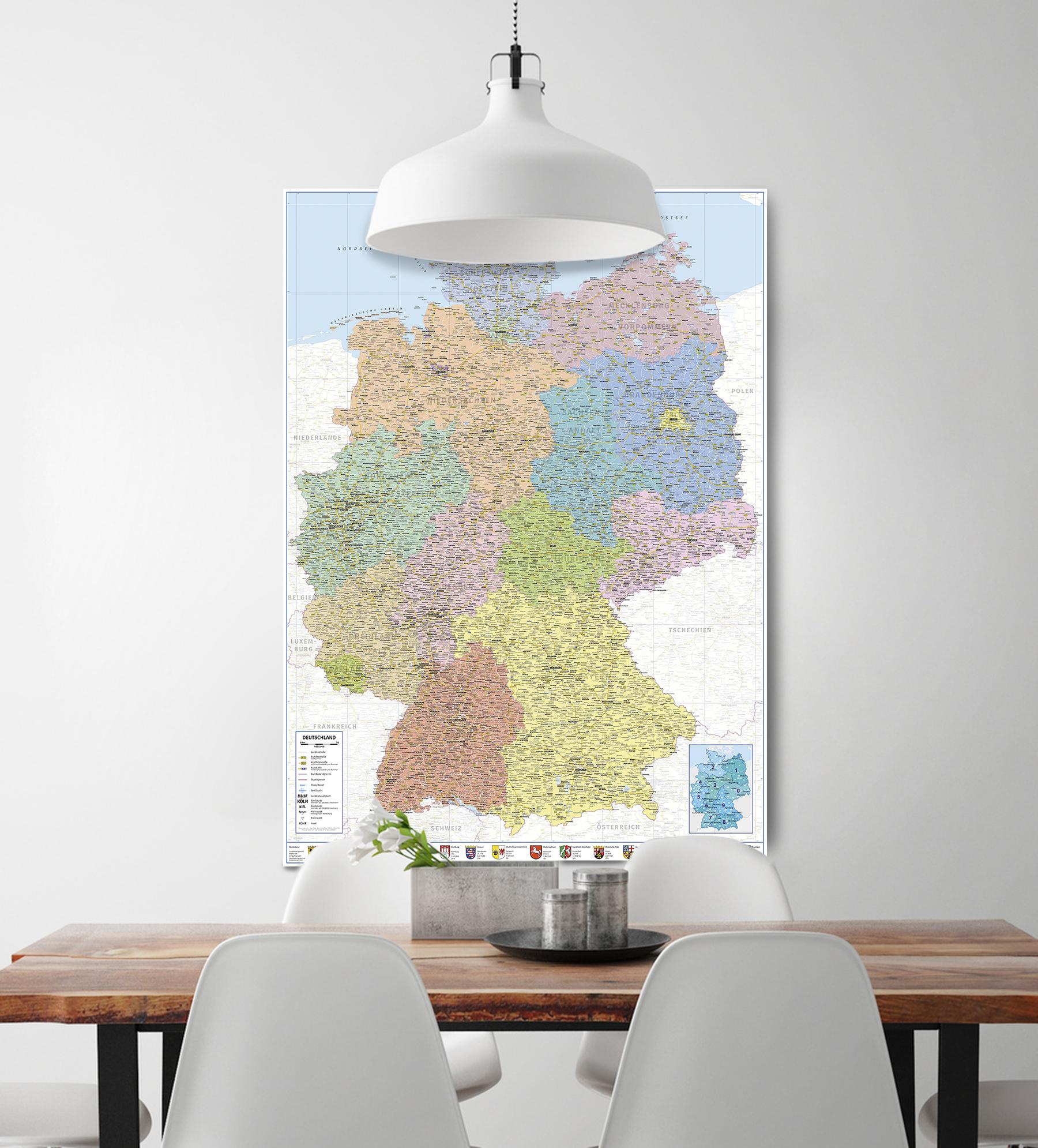
Plan yours with the premium poster on sturdy 200 g/m² paper next tour through beautiful Germany or learn using the get to know the state of the Federal Republic better on a political map. One great wall art for your office, study or classroom the school.
Poster width: 100.0 cm
Poster height: 140.0 cm

